Extreme storms are discrete and memorable events, but coastal and estuarine areas also flood as a function of tidal processes and rainfall. Accurately quantifying the frequency, depth, and disruptiveness of these recurrent events has been a barrier to understanding their impacts. To address this problem we have developed a system that uses pressure sensors in storm drains in combination with cameras and communications equipment mounted on street lights and phone poles. The devices were designed by electrical engineers at UNC’s Institute of Marine Sciences (IMS). The cameras and communications equipment photograph roadways and transmit data to project servers. Sensors are currently operating in Beaufort NC and in New Bern.
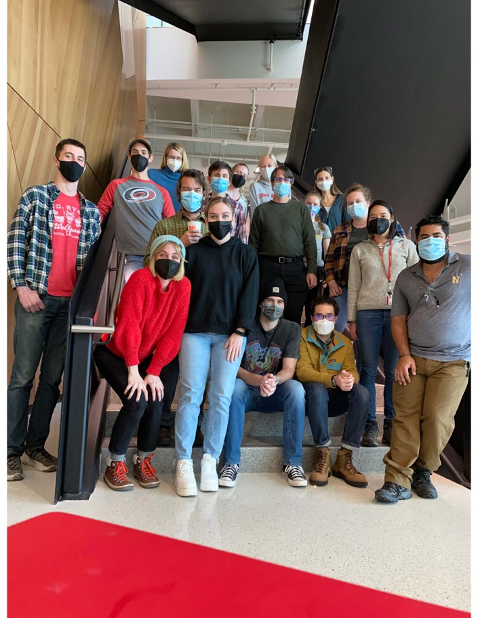
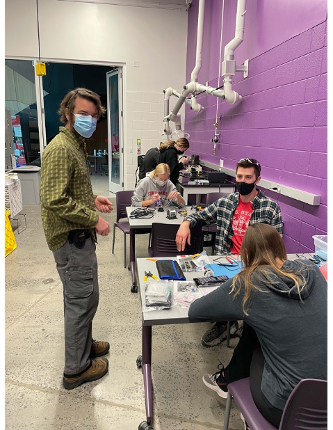
Participants included undergraduate and graduate students from UNC and N.C. State, scientists from the departments of Civil, Coastal, and Environmental Engineering (NC State University), City and Regional Planning, Sociology, and the Institute of Marine Sciences (IMS UNC-CH). The sensors built as part of the build-a-thon will be deployed in Carolina Beach, Ocracoke, and Swan Quarter, NC. The project was recently featured on a PBS video. Ultimately data from the sensors can be compared to data provided by our household survey respondents to shed light on flooding frequency as measured by sensor, as reported by community residents, and with respect to how daily lives are disrupted by this type of recurrent flooding.